Skip to main content
Main navigation
High Altitude Observatory
Contact Us
Search HAO
Home
About
HAO News
History of HAO
People
Visitor Program
Partnerships
Organizational Chart
Strategic and Implementation Plans
External Advisory Committees
Internal Advisory Committees
Information for Staff/Visitors
Computer Support
Research
Research Highlights
Science Topics
Modeling
Assimilative Mapping of Ionospheric Electrodynamics (AMIE)
Coupled Magnetosphere Ionosphere Thermosphere Model (CMIT)
Data-Optimized Coronal Field Model (DOCFM)
FORWARD
The GLobal airglOW Model (GLOW)
Global Scale Wave Model (GSWM)
Lyon-Fedder-Mobarry (LFM) code
MURaM Sunspot Model Output
TIEGCM
WACCM-X
Living With A Star Focus Team
Observation
Mauna Loa Solar Observatory
COSMO
Community Spectro-polarimetric Analysis Center
Fabry-Perot Interferometers
HAO Eclipses
McIntosh Synoptic Map Archive
NCAR Vacuum Tunnel Facility
Solar Maximum Mission
The Sun Today
WindCube
LFDI
Education
The Sun: A Pictorial Introduction
Questions and Answers About the Sun
Solar Physics Historical Timeline
Famous Solar-Stellar Scientists
Solar Astronomy in the Prehistoric Southwest
Suggested Reading
Additional Educational Resources
News & Events
News
All Upcoming Events
Past Events
Search HAO
Contact Us
Pages belonging to Solar Astronomy in the Prehistoric Southwest
Credits
Supernova Pictograph
Lunar Astronomy
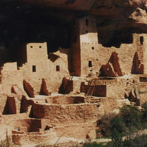
Cliff Palace
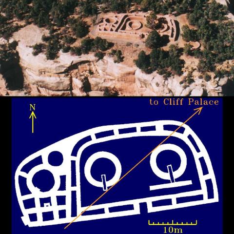
The Sun Temple
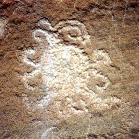
Solar Eclipse Petroglyph
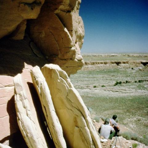
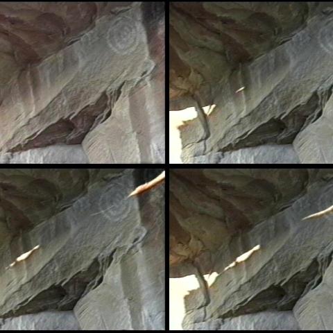
The Sun Dagger
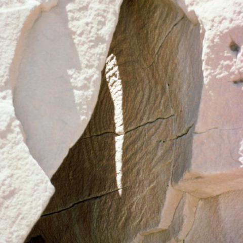
The 3-Slab Slit
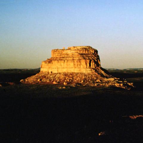
Fajada Butte
Solstice Marker
Pagination
Page 1
Next page
››
Subscribe to prehistoric-southwest