McA: Background

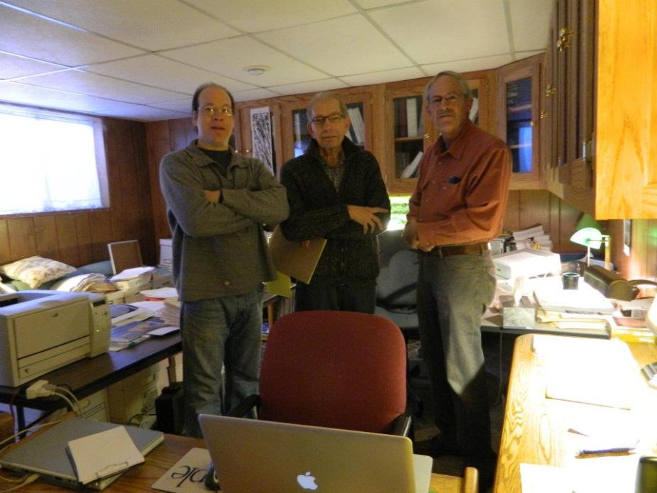
Ian Hewins, Pat McIntosh and Robert McFadden during a mapping session in Pat’s Boulder home
In 1964 (Solar Cycle 20; SC 20), Patrick McIntosh began creating hand-drawn synoptic maps of solar magnetic features, tracing magnetic polarity inversion lines and connecting widely separated filaments, fibril patterns, and plage corridors to reveal the large-scale organization of the solar magnetic field. The maps were based on Hα daily images, and consistently from 1981 onwards, included coronal holes as a standard feature, primarily based upon ground-based He-I 10830 Angstrom images from NSO-Kitt Peak. However, coronal holes were first included for 3 rotations in 1978. Magnetograms were used to determine the overall dominant polarity of each region.
In all, 573 solar Carrington rotations (CROTs) were mapped between 1964 and 2009, beginning in CROT 1487 and continuing to CROT 2086, minus a gap between July 1974–June 1976 (CROT 1617-1642). There were originally 97 incomplete maps that are currently completed and 27 missing maps that are now recreated from original sources. In addition, all available coronal hole boundary data, beginning in 1974, have been included. Maps of the first 120 Carrington Rotations from SC24 are now included in the archive. The remaining 28 maps in the SC will be added by the end of the summer. The result will be a record of over 57 years or 748 synoptic maps - 5 complete solar cycles. We have also included maps from the Whole Heliosphere and Planetary Interactions (WHPI) solar minimum study, Parker Solar probe perihelion campaigns, and solar eclipse campaigns. [PDF of original archive description | WHPI campaigns].
For further background information see: https://www.ngdc.noaa.gov/stp/space-weather/solar-data/solar-imagery/composites/synoptic-maps/mc-intosh/documentation/mca_background_2020.pdf